

Top 5 Mixed Reality Spatial Mapping Innovations in the USA, 2025
Published on Wednesday, April 2, 2025
Mixed Reality Spatial Mapping technology maps physical environments in real-time, allowing digital content to interact seamlessly with the physical world. This innovative technology is becoming increasingly appealing to consumers in the United States for its ability to create immersive experiences that enhance gaming, education, architecture, and more. As augmented reality applications and virtual experiences continue to rise, businesses are leveraging spatial mapping to revolutionize customer engagement and experiences. This cutting-edge technology is enhancing how people perceive their surroundings and interact with digital content, providing a bridge between the virtual and physical realms that captivates users and propels market growth.
Top Picks Summary
Matterport Pro2 3D Camera
The Matterport Pro2 3D Camera stands out for its ability to create stunningly detailed 3D models and virtual tours in a matter of minutes. Its advanced imaging technology captures true-to-life spatial data, making it an essential tool for real estate, architecture, and construction industries. The integration with the Matterport cloud platform enables seamless sharing and collaboration. With its user-friendly interface and extensive compatibility, it elevates both professional and amateur projects to a new level.

Leica BLK360 Imaging Laser Scanner
The Leica BLK360 Imaging Laser Scanner is renowned for its compact design and high-speed laser scanning capability, making it a leader in capturing high-resolution 3D data in various environments. Its ability to integrate images and point clouds through the use of HDR imaging gives users an accurate and detailed representation. The lightweight build allows for easy portability, making it ideal for professionals on the go. Leica's commitment to precision and quality ensures the BLK360 stands as a top choice in the surveying and mapping sectors.

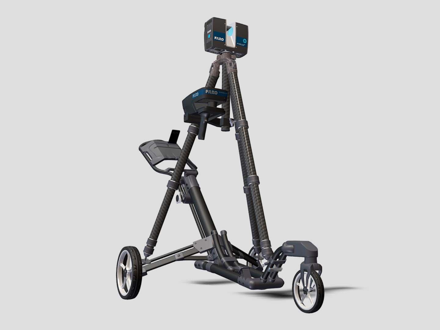
FARO Focus Swift
The FARO Focus Swift laser scanner excels in providing fast and accurate 3D measurements, making it a go-to choice for construction, engineering, and forensic applications. With its advanced imaging capabilities, users can capture dense point clouds quickly while maintaining high precision. The scanner is designed for ease of use, allowing for streamlined workflows and improved data accuracy. FARO’s extensive software ecosystem further enhances user capabilities, solidifying it as an industry leader in 3D scanning technology.
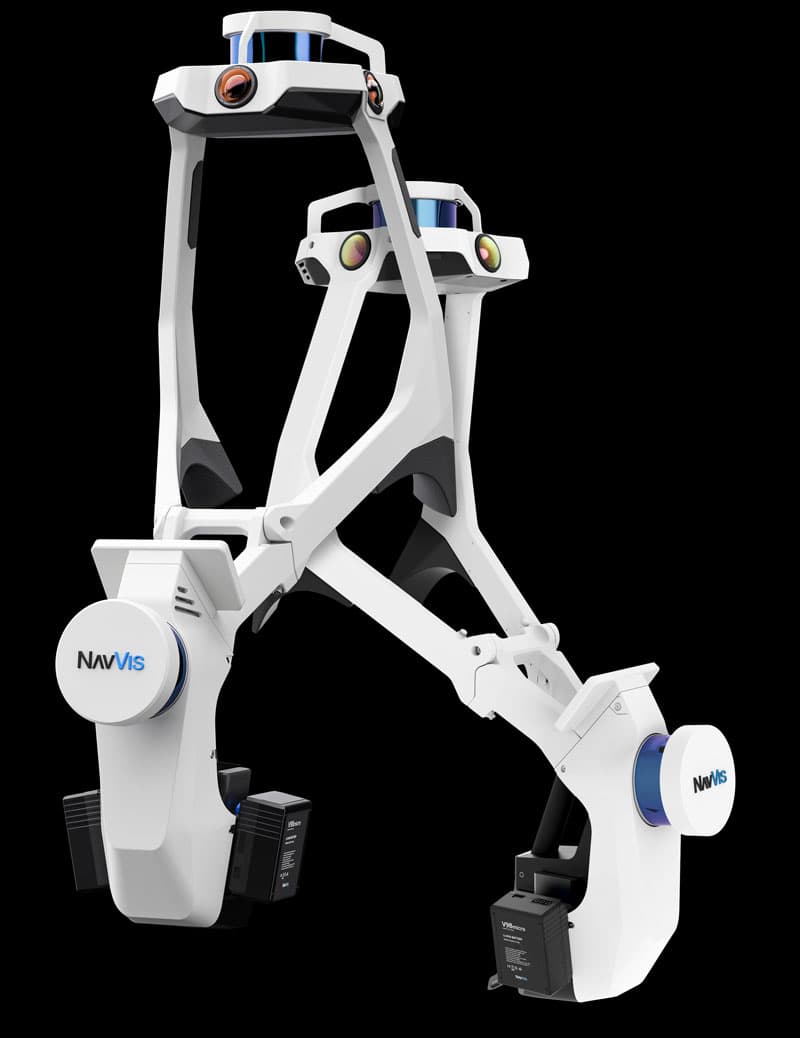
NavVis VLX 2nd Generation
The NavVis VLX 2nd Generation offers a groundbreaking solution for indoor mapping and digital twins with its innovative hybrid technology that combines laser scanning and imagery. This portable system allows users to capture large indoor spaces quickly and accurately, all while integrating easily with existing workflows. Its data quality and processing capabilities are top-notch, ensuring precision in every scan. As a leader in the field of indoor mapping, NavVis provides unmatched insights into spatial data.
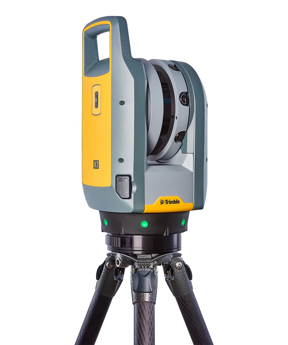
Trimble X7
The Trimble X7 is distinguished by its smart and flexible approach to laser scanning, featuring integrated imaging capabilities to enhance data collection accuracy. Its automatic calibration feature significantly reduces setup time and improves field productivity, making it a favorite among surveyors and construction professionals. The X7's innovative design includes built-in software for seamless data processing and easy integration with other Trimble solutions. This versatility and performance make the X7 one of the strongest contenders in the laser scanning market.
Top Spatial Mapping solutions deliver high precision and fast processing speeds, enabling users to interact with a richly detailed virtual overlay in their real surroundings.
Understanding Mixed Reality Spatial Mapping
Mixed Reality Spatial Mapping is revolutionizing user experiences by merging physical and digital environments. Here’s what you need to know about this technology and its benefits.
Enhances educational tools by providing interactive learning experiences, making complex subjects easier to understand.
Revolutionizes the gaming industry by allowing users to experience worlds that seamlessly blend with their physical surroundings.
Facilitates architectural design by enabling virtual walkthroughs of buildings before they are constructed, improving project outcomes.
Offers businesses new avenues for customer engagement, using engaging spatially-mapped advertising that captivates consumers.
Encourages social interactions through multiplayer augmented reality experiences, fostering community-building and collaboration.
Supports environmental awareness by visualizing real-time data in physical spaces, helping users make informed decisions.
Frequently Asked Questions
Should I buy Matterport Pro2 for real estate?
Matterport Pro2 3D Camera is a strong pick for real estate and architecture because it creates detailed 3D models and virtual tours in minutes, with cloud integration for easy sharing and an average rating of 4.8.
What does Leica BLK360 scan with HDR imaging?
Leica BLK360 Imaging Laser Scanner integrates images and point clouds using HDR imaging, with ultra-precise imaging and a compact, lightweight design; it’s rated 4.7.
Is Matterport Pro2 3D Camera worth $1999?
Yes for 3D scanning and virtual tours: Matterport Pro2 3D Camera is listed at $1,999.00 USD(33% discount) and has an average rating of 4.8, including high-resolution 3D scanning and cloud integration for sharing.
Does FARO Focus Swift work for construction scanning?
Yes—FARO Focus Swift is designed for construction, engineering, and forensic applications, offering fast, accurate 3D measurements plus various data output formats; its average rating is 4.6.
Conclusion
In USA, the adoption of Mixed Reality Spatial Mapping is paving the way for exciting advancements across various sectors. We hope you found what you were looking for! If you're interested in exploring more specific aspects of this technology, don't hesitate to search using our search bar.